by learnformula
search
For Business
Team license & compliance management
For Higher Education
Academic partnerships
For Government Agencies
Government training solutions
For Instructors & Course Creators
Teach on our marketplace
Become a Sponsor
Reach 9M+ professionals
Log inStart 7-Day Free TrialStart Free TrialStart Free Trial
search
Homechevron_rightEngineeringchevron_rightSurveying / Mapping / GIS Technologies

Advance your Professional Skills in Surveying / Mapping / GIS Technologies

These Surveying / Mapping / GIS Technologies courses cover a broad spectrum of topics, ensuring you stay current with industry standards and best practices.

Start 7-Day Free TrialStart Free TrialStart Free TrialNo charge today. Cancel anytime.
Explore Categories
chevron_leftAll CategoriesEngineering
Agricultural EngineeringChemical EngineeringCircuit Design & AnalysisCoastal EngineeringEcological EngineeringElectric VehiclesElectrical Engineering BasicsElectrical TransformersElectricityEnergy ManagementEngineering EthicsEngineering ManagementEngineering ManagementEnvironmental EngineeringFire Protection SystemsGeneral ConstructionGeotechnical EngineeringGreenBuildHealth and SafetyHVAC/ Air QualityHydraulic and Water Resources EngineeringIndustrial and Facilities EngineeringLandscaping and OutdoorLaws & RulesMechanical EngineeringModern TechnologyPower Generation & DistributionProcess Piping/Oil and GasRenovation & MaintenanceResidential ConstructionRiver and Stream EngineeringSolar EnergyStormwater EngineeringStructural EngineeringSurveying (Geospatial)Surveying / Mapping / GIS TechnologiesTechnology & ScienceTransportation EngineeringTypes of Renewable EnergyWater and Wastewater TreatmentWind EnergyWood ConstructionsWorking with Concrete
Trending
Association
Format
Rating
Duration
Language
Level

Professional Surveying / Mapping / GIS Technologies Spotlight

Enroll with Unlimited Pass — All courses shown are included in Unlimited Pass
Introduction to GIS, ArcGIS Pro for watershed delineation
Video Course
Engineering: Surveying / Mapping / GIS Technologies

Introduction to GIS, ArcGIS Pro for watershed delineation

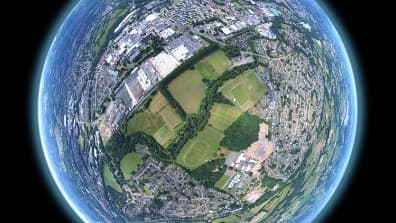
Learn the basics of GIS in ArcGIS software, then perform watershed delineation in ArcGIS Pro
US$116-55%US$256
4 CPD hours
Paul Nicoara
4.3
(7)
Published at Jul 14, 2022